.jpg)
The Las Vegas Valley is not one uniform wildfire setting. A home beside Mojave desert open space, a property near Red Rock Canyon and a mountain cabin higher in the Spring Mountains may all be discussed as part of the wider Las Vegas area. Their vegetation, terrain, access and use can differ substantially. An insurance submission should make those differences explicit.
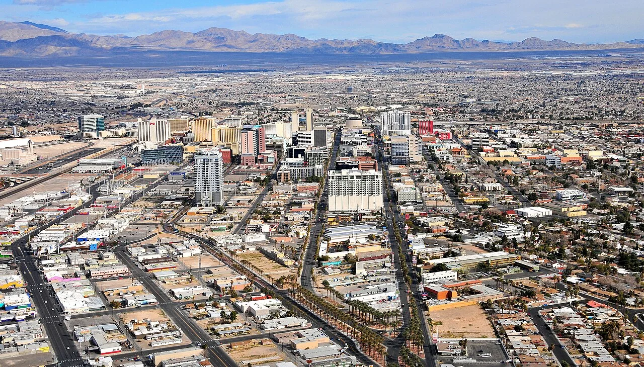
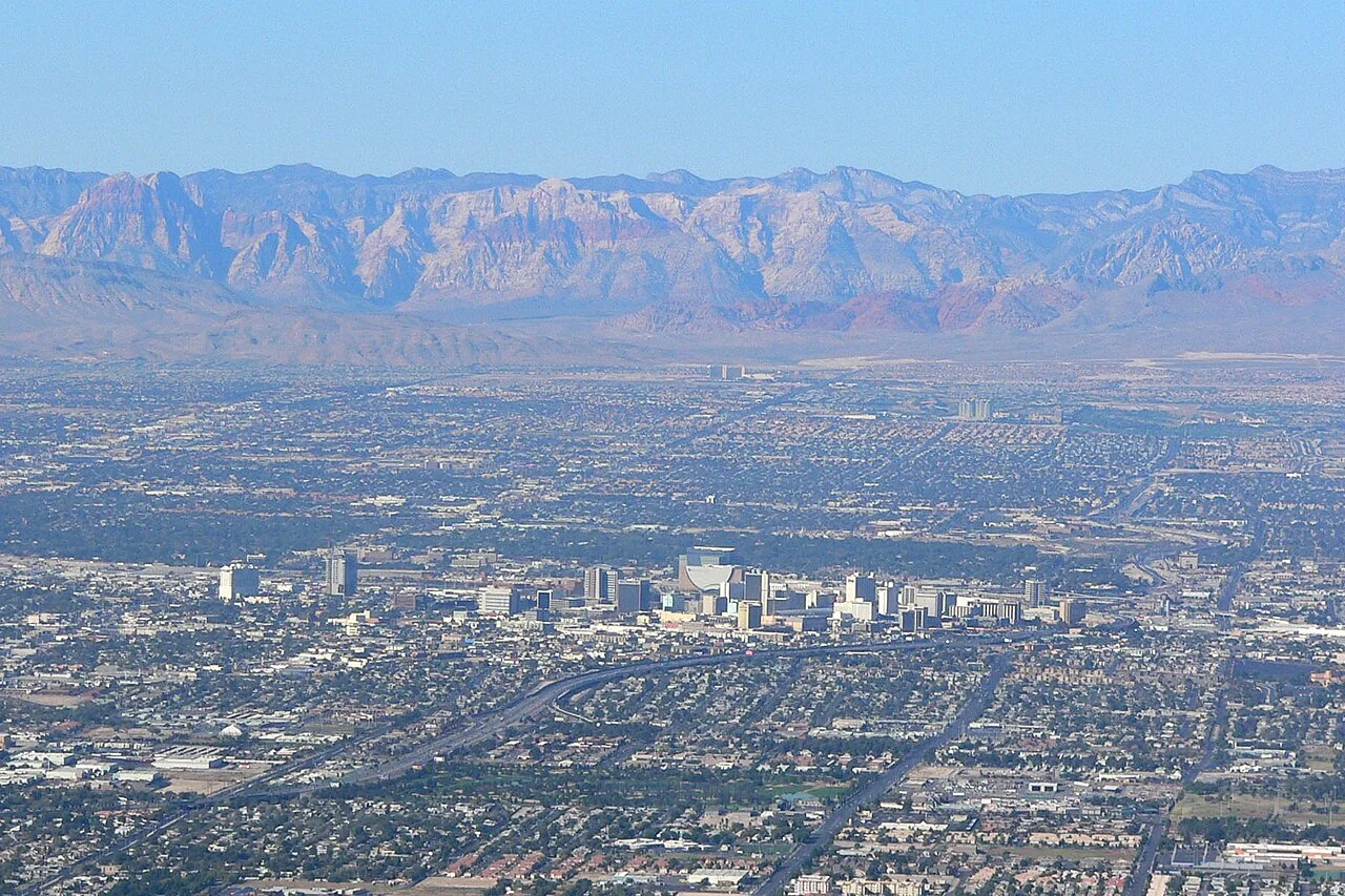
Start by identifying what is actually at the address. A photograph of the Strip does not explain a desert-edge parcel, and a forest photograph from Mount Charleston should not represent an ordinary valley neighborhood. If a carrier raises a wildfire concern, ask which property information supports it and gather evidence showing the building and surroundings that are truly being insured.
Distinguish the desert edge from the mountain forest
Red Rock Canyon lies within the Mojave Desert landscape, while the Spring Mountains include very different higher-elevation environments. The Forest Service manages Spring Mountains recreation areas including Kyle Canyon and Lee Canyon. These are useful geographic distinctions for an agent reviewing the region from elsewhere. They are not a reason to assign a single risk level to all western valley addresses.
For a home beside desert open land, show the vegetation close to the building, the boundary and any connection through fencing or landscaping. For a mountain residence, also show tree cover, roof debris, slopes and access. Ask a qualified assessor which features matter at that site rather than borrowing a maintenance checklist from a house in a different environment.
Why sparse-looking desert ground still merits review
The Bureau of Land Management has documented non-native-grass treatment for wildfire fuel reduction at Red Rock Canyon. Its historical project description explains why the spaces between shrubs can matter. Sparse trees or exposed rock do not, by themselves, establish that the area around a residence has nothing capable of carrying fire.
Use that lesson carefully. Do not identify plants from an insurance photograph unless qualified to do so, and do not assume an old public project treated the strip behind your house. Ask about the actual vegetation and ownership. Record when photographs were taken, because a single image may not show the seasonal maintenance needed on a desert-edge parcel.
Establish the responsible local agency
The wider metropolitan area includes multiple cities, unincorporated communities and distinct fire-service arrangements. Clark County Fire Department provides wildland-fire information, but a Las Vegas mailing address is not enough to conclude that every county program or requirement applies. Confirm the parcel's jurisdiction and responsible fire agency before requesting inspections or describing service details to an insurer.
This also matters for public land. Red Rock Canyon and the Spring Mountains have different land-management resources. Ask the appropriate manager about work or conditions outside your boundary, and follow current restrictions from the responsible authority. A residential insurance guide cannot authorize vegetation removal on public land or tell you that a recreation road is open.

Examine the built features at the open-space boundary
At the valley edge, begin with the way landscaping and structures connect. Show plant debris at wall bases, exterior storage, attached patio covers and fencing that reaches the dwelling. Ask about any open areas beneath decks or stairs. The purpose is a focused assessment of the home, not a conclusion that desert landscaping should be replaced wholesale.
For a property within an association, identify which party maintains perimeter planting, common ground, gates and access lanes. Request the relevant maintenance contact and documentation of completed work. Distinguish a future association project from treatment that has already occurred. An insurer can better understand the property when the file identifies both the condition and who is responsible for it.
For mountain homes, add photographs of roof valleys, accessible deck undersides and the slope below the building. Have a professional obtain images where climbing would be unsafe. Keep material descriptions and contractor invoices for completed improvements. An aerial image may provide context, but it often misses the close connections an on-site assessment can explain.
Think through access without relying on a familiar drive
Daily commuting and recreation routes are not guaranteed evacuation routes. Kyle Canyon Road, Lee Canyon Road and roads around Red Rock provide geographic orientation only. Fire, weather or other hazards can change available movement. Plan around current local instructions, household communication, pets and any transport assistance needs rather than a route permanently printed in this article.
For a second home, make sure the local contact understands that safety directions take priority over checking the property. Give guests the full address and a way to obtain official emergency updates. Keep insurance contacts and a home inventory accessible away from the building. Do not send someone into a restricted area to take pictures for a pending application or claim.
Describe occupancy and construction accurately
A valley primary residence and a seasonal mountain cabin may require different discussions even when the same person owns both. Explain rental use, extended empty periods, renovations and detached structures. If a dwelling has become a short-term rental or a workshop now supports a business, disclose the change. A familiar policy description should not remain in place simply because no one revisited it.
Ask how the proposed rebuilding estimate reflects actual materials, additions, finishes and access. Compare roof settlement terms, deductibles, wildfire-related conditions and additional living expense provisions. For a condominium or attached home, request the association's insurance information and have the agent explain how individual coverage fits. The final answer comes from the actual policy arrangement, not the property's general location.
Correct location assumptions in a difficult application
If the insurer's concern appears based on incorrect surroundings, identify the specific discrepancy. Provide the legal address and current photographs, and ask whether a review process exists. Do not simply assert that the home is in the desert or too urban to be exposed. Accurate details are more persuasive than broad assumptions in either direction.
A specialist can investigate available options and explain why proposals differ. Use our nonrenewal guide for deadlines and our coverage-options guide for comparison questions. You may still have useful avenues to explore after a decline, especially when the next submission clearly distinguishes the real property from a generic picture of the Las Vegas region.
Continue exploring Nevada
Nevada wildfire insurance guide
Common questions
Can a desert-edge Las Vegas home have a wildfire-related insurance concern?
Yes, an insurer may raise a concern based on the particular property and its criteria. Ask what information is involved. Few tall trees or a city mailing address do not, on their own, establish how the company evaluates the site.
Should Mount Charleston photographs represent every Las Vegas Valley home?
No. Mountain forest and valley desert settings are different. Use authentic images of the relevant location and photographs of the insured property. Explain its actual vegetation, terrain and access rather than substituting a familiar regional landmark.
Does a Las Vegas postal address identify my fire department?
Confirm the service jurisdiction for the exact parcel. The wider area includes multiple cities and unincorporated communities. Use that confirmed information to choose local assessment resources and describe the property accurately to an agent.
What does the Red Rock grass-treatment history tell homeowners?
It shows why ground vegetation can be relevant even in a desert setting. It does not establish that your parcel was treated or identify its current risk. Ask about local conditions and the ownership of neighboring land.
Sources and further reading
- Clark County Fire Department: wildland fires
- Bureau of Land Management: Red Rock Canyon fuel reduction, 2016
- USDA Forest Service: Spring Mountains recreation management
- Bureau of Land Management: Red Rock Canyon
Program rules and insurance terms can change. Check the linked agency or program before relying on eligibility, coverage, or local requirements.
General educational information. This website does not issue policies, bind coverage, or provide emergency alerts. Coverage and eligibility require individual review.