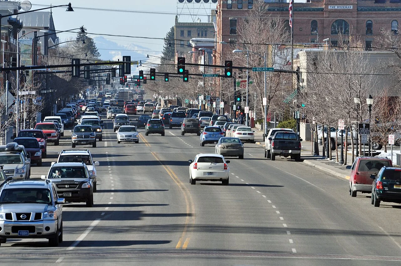

Bozeman is not one continuous forest neighborhood. The Gallatin Valley floor, established urban blocks and homes toward the Bridger and Gallatin mountain edges have different surroundings. A useful insurance submission explains which setting applies, then describes the actual house. It should not rely on the view from town or a general statement that all of Bozeman is equally exposed.
If a carrier has raised concerns, ask for the written reason and identify the facts behind it. A specialist can help organize potential alternatives, but accurate information comes first. The goal is a review of your property’s conditions and coverage needs, including details that a broad map or abbreviated application may miss.
Local mapping shows why broad labels need care
Gallatin County’s wildfire-mitigation page explains that its 2026 wildland-urban interface mapping treats the valley floor more precisely than an older approach that depicted much of it as a continuous interface area. The county describes smaller, more isolated pockets of exposure. This is community planning information, not a finding about any one home’s eligibility.
The practical lesson is to ask better questions. Which map or property data is the insurer using? Does the description show the correct house and surroundings? Has recent work been recorded? Supply evidence when information is wrong, but do not assume that a county map requires an insurer to quote a particular address.
Separate the valley, the foothills and canyon approaches
A valley parcel may need photographs showing grassland edges, fences, outbuildings and neighboring development. A wooded foothill home needs the relationship between slope, trees and structure explained. A property accessed through a canyon may also need careful documentation of the driveway and public-road connection. These are prompts for investigation, not automatic rankings of neighborhoods.
Ask local authorities to confirm the responding district rather than inferring it from a Bozeman mailing address. For properties in the Bridger Canyon area, the district’s own wildfire-preparation resources are a relevant starting point. For another location, use its actual authority. Keeping that distinction in the file helps avoid incorrect assumptions about services.
Connect your project with Gallatin County resources
The county’s mitigation program provides guidance and coordinates with a Fire Adapted Gallatin working group. Its published material identifies a local contact for helping owners find suitable resources. Ask what assistance is currently available and whether an assessment would clarify the work your property needs. Funding, eligibility and scheduling should be confirmed directly.
For forested private land in the relevant area, USDA’s Bridger-Bangtail Forest Health and Hazardous Fuels Reduction initiative supplies another official resource. Its stated purpose includes reducing fuel loads and improving forest health. Do not assume that a named regional program covers every Bozeman parcel. Check the location and requirements before incorporating it into a budget.


Remember the connection to municipal watersheds
Gallatin County’s planning discussion identifies the Hyalite Creek and Bozeman Creek watersheds as part of the Bozeman municipal watershed context. This helps explain why wildfire planning near the city includes public infrastructure and landscape projects, as well as individual homes. A forest treatment’s purpose may be broader than protecting the nearest subdivision.
For your own insurance file, record only work you can substantiate. If a nearby public project is relevant, identify its official description and location without claiming it eliminates exposure at your house. Then document the building-level conditions you control. Regional stewardship and an accurate property submission serve related but different purposes.
Build a record that explains construction and use
Include roof age and material, exterior features, detached structures and major renovations. A photograph of the mountain backdrop is not enough. Show areas where a deck, porch, fence or stored material joins the house. For completed work, pair a dated image with the invoice or product details where appropriate.
Tell the agent about any rented portion, guest unit or business use. If a property is newly purchased, compare the listing with permit and inspection records rather than relying only on sales language. Ask whether the dwelling description captures the current floor area and finishes. Keep outstanding repairs visible so the quote discussion is based on the actual building.
Compare financial protection in concrete terms
Montana’s insurance regulator warns that the amount needed to rebuild a home is not simply its purchase price or mortgage balance. For a Bozeman house with recent additions or distinctive materials, ask how the reconstruction estimate accounts for those features. Review the estimate with the professional rather than choosing a round figure only to reach a premium target.
Request an explanation of the deductible, other-structures protection and additional living expenses. Ask how smoke damage or a required evacuation would be evaluated under the proposed wording. Our coverage-options guide helps organize comparison questions. The specific contract still determines coverage, exclusions and conditions.
A useful comparison for a Bozeman buyer
Consider two hypothetical homes with the same asking price: one on a developed valley lot and another near a wooded mountain edge. The price does not explain differences in access, outbuildings or exterior construction. Request insurance information for each actual property before treating the homes as interchangeable financial choices.
For the valley property, document the immediate boundary and neighboring development. For the wooded property, include the approach road and the relationship between trees, slope and structure. Ask the professional to use the same coverage assumptions where appropriate so the comparison is understandable. These are evaluation steps, not predictions that one location will be accepted or cost less. The current company requirements and property details still need review.
Make preparedness useful for everyone at home
Use Gallatin County’s emergency resources for notifications and household planning. Account for family members who are commuting, guests who do not know local roads and animals that need transport. Prepare those arrangements well before an incident. A recreation map or familiar mountain route does not override current official instructions.
For a renewal problem, keep the termination date, property file and submission status together. Our nonrenewal guide can help. Explain improvements honestly, obtain clear answers about any inspection conditions and allow time for review. There is room for a thoughtful search without assuming that either the first decline or the first inexpensive quote settles the matter.
Explore the Montana guides
Read the Montana wildfire insurance overview for state resources and questions about available insurance paths.
Common questions
Does Gallatin County’s updated map determine my Bozeman insurance price?
No. The county map is a community planning resource. It can help you ask whether an insurer has accurate location information, but it does not establish a premium or compel an offer. Ask the company about the data and property features relevant to its own underwriting review.
Are valley-floor homes the same as Bridger foothill homes for insurance?
They should not be described as identical. Show the actual vegetation, slope, access and surrounding structures for each property. Those facts support an individual review. Neither the absence of trees on a valley lot nor the presence of trees on a foothill parcel is a complete insurance decision.
Who can help identify local mitigation resources?
Gallatin County Emergency Management publishes a wildfire-mitigation program and describes coordination through Fire Adapted Gallatin. Contact the program about your location and current assistance. Properties in relevant forest areas can also ask about USDA resources, while recognizing that geographic eligibility and funding conditions must be verified.
Should nearby watershed treatment be mentioned in my submission?
It may provide useful context if you can identify an official project and its relationship to the property. Avoid claiming that treatment guarantees protection or insurance acceptance. Document your own completed work separately, and let the licensed professional ask the insurer whether the public-project information is relevant.
Sources and further reading
- Gallatin County: mitigation program and 2026 mapping
- Gallatin County: hazard and wildfire plan resources
- Bridger Canyon Fire Department: wildfire preparation
- USDA NRCS: Bridger-Bangtail forest health initiative
- Montana insurance regulator: replacement-cost considerations
Program rules and insurance terms can change. Check the linked agency or program before relying on eligibility, coverage, or local requirements.
General educational information. This website does not issue policies, bind coverage, or provide emergency alerts. Coverage and eligibility require individual review.