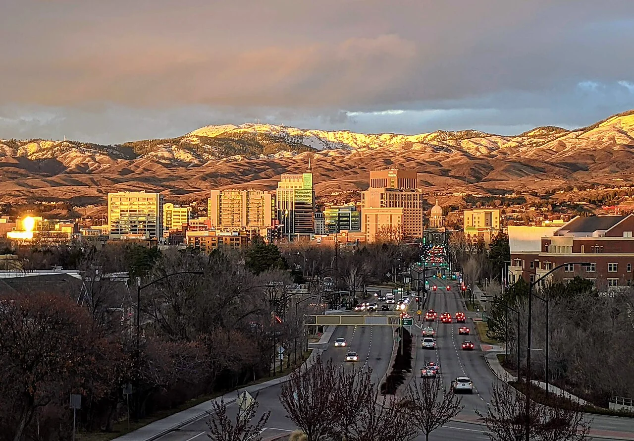

Boise’s wildfire insurance questions often begin where a backyard meets the Foothills. A house facing an open slope has a different setting from a home surrounded by developed blocks, even when both owners use the same city name. Around Table Rock, Hulls Gulch and the foothill trail network, the useful question is how grass, shrubs, fences and nearby structures connect to the house.
A difficult renewal does not mean that your property has been fully understood by every available insurer. It does mean that the next submission needs a clear, accurate picture. Start by separating the insurer’s written concerns from assumptions about an entire neighborhood. Then document the details a licensed professional can actually review.
Describe the transition from neighborhood to open land
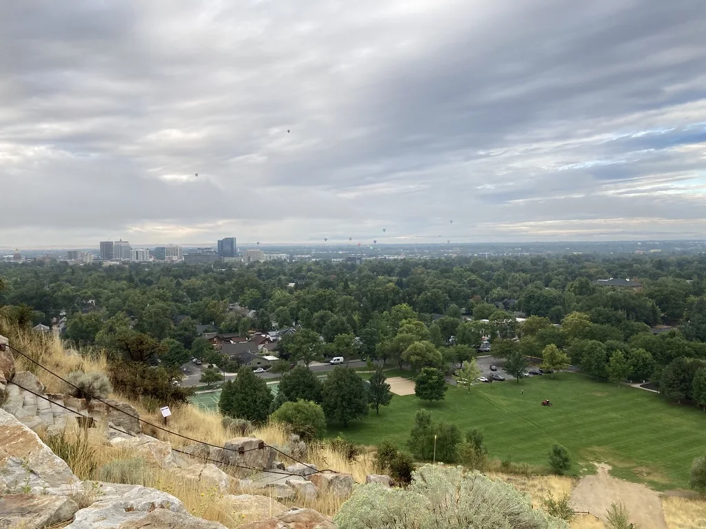
Boise’s Ridge to Rivers system helps illustrate how closely recreation land and residential streets sit together. Its official interactive map is useful for identifying named foothill areas and trail connections. A recreation map, however, neither establishes an insurance classification nor supplies an evacuation route. Use it to orient a conversation, then return to the parcel itself.
For a North End property, photograph the back boundary as carefully as the street frontage. For a home around Warm Springs Mesa or Table Rock, include the ground below decks and the slope outside the landscaped yard. In a more developed part of Boise, show nearby accessory buildings, connected fencing and vegetation against siding. These are different property stories, and an application should preserve those differences.
The foothills are more than a question about trees
A bare-looking hillside can still contain grass and brush. Owners sometimes send only a photograph showing that their house is far from large timber, leaving out the dry vegetation running toward a fence or deck. A more useful photo sequence follows the potential connections: open ground, yard edge, landscaping, attached features and exterior wall.
Walk that sequence with an appropriate local professional. Ask which maintenance tasks you can handle, which need a contractor and which involve someone else’s property. Treat boundary work as a coordination question. A foothill homeowner cannot assume permission to cut or disturb adjoining public land simply because it is visible from the backyard. Record the agency or owner responsible before proposing larger work.
Use Boise’s own preparedness network
Ada Fire Adapted Community is a City of Boise resource that brings homeowners, businesses, government and fire agencies into preparedness work. Its evacuation-planning material uses the Ready, Set, Go framework and provides a local contact for community education. That is a practical starting point for a neighborhood that wants to discuss shared access or organize preparation before smoke appears.
Bring concrete questions to that discussion. Who needs help getting out? Are address numbers readable from the street? Could parked trailers obstruct a turnaround? Which official channels should residents monitor? Keep the resulting household plan separate from an insurance submission. An insurer’s acceptance of a property does not establish that a driveway or route is safe during an incident.

Build a useful Boise property file
Organize the file around evidence, with a short cover note describing the location and completed work. Include the renewal notice, current declarations, claim dates and repair records. Add roof information, exterior photographs and any assessment recommendations. Label each photograph with its date and direction so a reviewer can distinguish a view toward the Foothills from a view toward the street.
- For a slope lot, show the area beneath elevated decks and the transition to natural ground.
- For a compact city lot, show fence connections, roof debris and the distance between accessory structures.
- For completed improvements, pair the invoice with a wide photograph and a close detail.
- For pending work, provide its honest status and expected completion date rather than describing it as finished.
Ask the agent which records the prospective insurer will consider. A long folder is not automatically more persuasive than a clear one. If a carrier questions a feature that has changed, make the correction easy to locate without omitting unresolved concerns.
Compare the coverage alongside the property review
A policy comparison should identify what you are buying as well as whether an application is accepted. Ask the licensed professional to review the dwelling limit, roof settlement terms, deductibles, detached structures and additional living expenses. If the home includes a rented room, guest unit or business activity, describe that use before assuming the same form fits every situation.
Consider a practical scenario: a foothill home remains standing but access is restricted, or smoke cleanup becomes necessary. Ask how the proposed policy addresses those circumstances and what conditions apply. Those questions are more useful than asking whether a product is simply called wildfire insurance. Keep the answers with the actual quote and policy documents.
Make a foothill boundary sketch
A simple sketch can resolve confusion that individual photographs leave behind. Mark the house, street, back fence and direction of the open slope. Number the photographs to match the sketch. For a Boise lot beside a trail corridor, identify that corridor by its official name while keeping it clearly outside your own maintenance area.
Then distinguish observations from conclusions. You can accurately report that a wood fence connects to the house or that work was completed on a particular date. Whether that condition satisfies an insurer or requires another mitigation step belongs to the relevant professional. This keeps a location-specific submission useful without giving it the appearance of an engineering report.
A calmer sequence after a nonrenewal
First, record the termination date and reason exactly as written. Next, ask what supporting information is needed and allow time for a specialist to evaluate potential markets. Our nonrenewal guide helps organize that process, while the coverage-options guide explains questions to take into a comparison.
The Idaho Department of Insurance provides homeowners resources and consumer assistance when policy questions remain unresolved. Use that support for insurance questions; use Boise and Ada County emergency authorities for protective action. The two roles complement each other. Neither a scenic city photograph nor a general foothill map can substitute for facts about your house.
Explore the Idaho guides
Read the Idaho wildfire insurance overview for state resources and questions about available insurance paths.
Common questions
Does a Boise Foothills address automatically make a home uninsurable?
No citywide conclusion follows from the address alone. Ask a licensed professional to review the actual construction, surroundings, access and insurer requirements. Document improvements and any disputed property information. The outcome still depends on available companies and their current underwriting decisions; an attractive or well-maintained lot cannot guarantee an offer.
Which photographs are most useful for a Table Rock or mesa property?
Include wide views showing slope below the house, deck supports, nearby vegetation and the boundary with open land. Add close images of roof edges, vents and fence attachments. Keep a street-side view so the reviewer understands access. Take pictures safely before an emergency, without entering neighboring or restricted land.
Can the Ridge to Rivers map tell me which road to take during a fire?
No. It is a recreation and geographic reference. Trail connections and apparent map shortcuts may be unsuitable or closed. Prepare with local emergency resources and follow incident-specific instructions from authorities. Do not turn an insurance article, trail map or old social-media post into an evacuation plan.
Who can help our Boise neighborhood prepare together?
Ada Fire Adapted Community provides a local starting point for education and evacuation planning. Ask about the current options for your neighborhood, then agree on practical tasks such as accessible addresses and helping residents who need assistance. Community participation supports preparation but is not proof of insurance eligibility or a promised discount.
Sources and further reading
- City of Boise: Ada Fire Adapted Community
- Ada Fire Adapted: evacuation planning
- City of Boise: Ridge to Rivers interactive map
- Idaho Department of Insurance: homeowners resources
Program rules and insurance terms can change. Check the linked agency or program before relying on eligibility, coverage, or local requirements.
General educational information. This website does not issue policies, bind coverage, or provide emergency alerts. Coverage and eligibility require individual review.